Aerial Agricultural Photography and Drone Services
FAA-licensed drone photography that captures the full scale of your agricultural operation. From field-level crop documentation to sweeping panoramic aerials, we deliver perspectives that ground-based photography simply cannot.
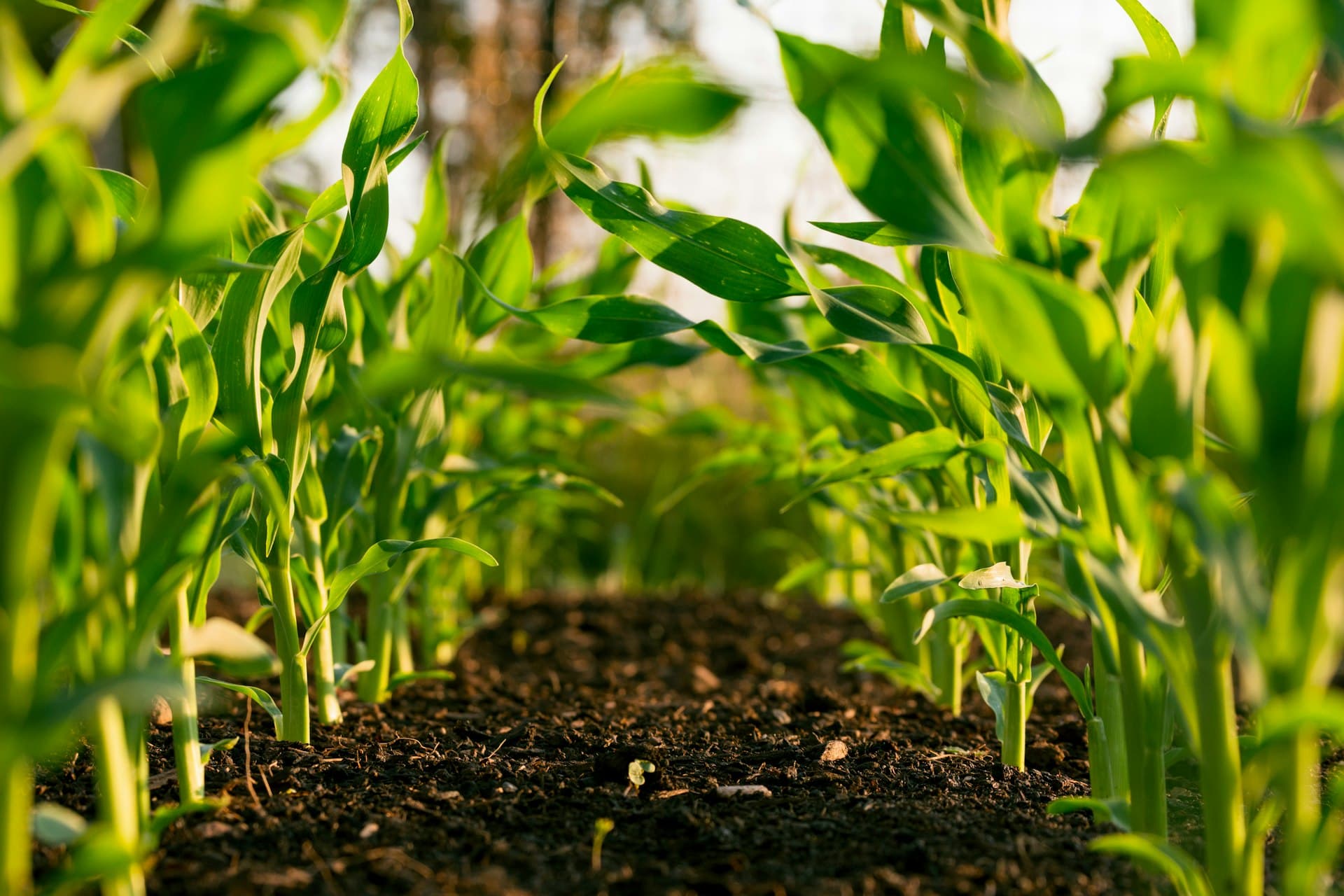
Aerial photography has become essential for agricultural marketing, documentation, and stakeholder communication. Our FAA Part 107-licensed pilots specialize in agricultural aerial work, delivering high-resolution imagery and video from altitudes that showcase your land, crops, facilities, and operations at their most impressive. We serve farms, ranches, co-ops, land brokers, and agribusiness companies who need professional aerial content that goes far beyond what a consumer drone can produce.

Why Organizations Choose Us
Marketing That Shows Scale
Nothing communicates the scope of a large-scale farming operation like professional aerial photography. These images anchor websites, brochures, and annual reports with immediate visual impact.
Land and Property Sales
Aerial imagery is essential for farmland listings and rural property sales. We provide high-resolution aerials with boundary overlays, acreage documentation, and feature identification.
Operational Documentation
Aerial photography documents irrigation coverage, drainage patterns, conservation practices, and infrastructure layout for internal planning and compliance reporting.
Investor and Lender Presentations
Professional aerial imagery elevates investor decks and lender presentations, providing visual evidence of operational scale, land quality, and infrastructure investment.
What’s Included
Frequently Asked Questions
Are your drone pilots FAA-licensed?
Yes. All of our drone operators hold current FAA Part 107 Remote Pilot certificates. We carry full commercial drone insurance and comply with all federal, state, and local regulations for commercial UAS operations.
What altitudes do you fly for agricultural photography?
We typically fly between 50 and 400 feet AGL depending on the subject. Lower altitudes capture facility details and equipment, while higher altitudes showcase field patterns, crop health, and overall property scale. We plan altitude and flight paths based on your specific objectives.
Can you fly near grain elevators, power lines, and other structures?
Yes, with appropriate safety planning. Our pilots conduct site surveys before every flight and follow strict protocols around structures, power lines, and populated areas. We maintain safe distances while still capturing compelling angles.
How does weather affect aerial photography scheduling?
Wind speeds above 25 mph, rain, and low cloud ceilings can ground drone operations. We monitor conditions closely and schedule flights during optimal weather windows. Golden hour flights (early morning and late afternoon) produce the most dramatic agricultural aerials.
See Your Operation From a New Perspective
Book an aerial photography session and get imagery that shows the true scale of your agricultural enterprise.